

Spending the Day in Tremont
Tremont Institute is located inside the Townsend entrance of Great Smoky Mountains National Park, near Cades Cove. Visitors are welcome to hike the trails in the area any time the park is open. Stop by the Tremont Visitor’s Center at 9275 Tremont Road for helpful information about the valley, and check out our selection of Smokies and Tremont merchandise. Proceeds from purchases in the gift store support Tremont’s mission to connect more people with nature.
Great Smoky Mountains Institute at Tremont is a nonprofit residential environmental education center. We would love for you to join us for a residential program to experience the benefits of living and learning in a national park, but if you have only a day to explore Tremont, we want to help you make the most of your time!
Recommended Hiking Trails
Please hike responsibly and safely and practice Leave No Trace principles. For more information about hiking in Great Smoky Mountains National Park and to download a trail map, visit the park’s official website. Parking passes, trail maps, and hiking guides can also be purchased at Tremont’s Visitor’s Center.

Spruce Flats Falls (2 miles moderate round trip)
Spruce Flats Falls is a favorite hike for people visiting Walker Valley – it’s short, but leads to an impressive waterfall with plenty of space to splash around. To access the Spruce Flats Falls trailhead, park in the Tremont Institute Visitor Center parking lot. Walk up the gravel service road, and take a left at the Tremont dorms onto the Lumber Ridge trail. About 50 feet onto the trail, you’ll come to a split – follow the “falls” sign to the right. Although short, this trail includes some steep rocky sections that may be challenging.

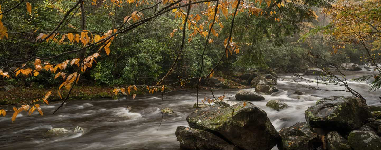
Middle Prong Trail (8.2 miles easy-to-moderate round trip)
This wide trail with a gradual incline is perfect for a nice stroll in the national park. You’ll walk along the Middle Prong for most of the trail, and will pass multiple waterfalls, as well as some interesting remnants of the park’s history along the trail. About half a mile into the hike, you’ll encounter Lynn Camp Prong Cascade; take some time to sit on the bench and enjoy the view. Walk as far as you like, turn around, and head back to your car.
If you’re feeling adventurous, take the small, unmarked trail on the right about 4 miles in to access Indian Flats Falls – watch your footing in this area!

West Prong to Campsite 18 (4 miles moderate round trip)
Want to test out your backcountry gear and skills before heading too far into the woods? Try campsite 18 on the West Prong Trail. You’ll experience a gradual incline and an easy stream crossing before arriving at the lovely campsite – a perfect spot to rest! If you want a little extra adventure, cross the footbridge on the other side of campsite 18 and head to the junction with Bote Mountain Trail.
Want to check out some Walker Valley history? Take a mini-detour to the Walker family cemetery – take a right at the split by the West Prong trailhead and you’ll find the cemetery at the top of the hill.
Stay in Touch!
Parking Tags
Photos by Jennifer Haralamos and Kimberly Weber.
Share your experiences! Tag us on social media and let us know what you discovered on your adventure. #peopleandnature